Developing Digital Parcel Data
The Town of Gray has provided access to their parcel data to the community through an online viewer. By developing that digital parcel data, the town is able to add a variety of other data sets to their parcels to better understand the community.


Users can click on map features and view further details as well as links to tax maps or tax cards. Data is updated yearly.
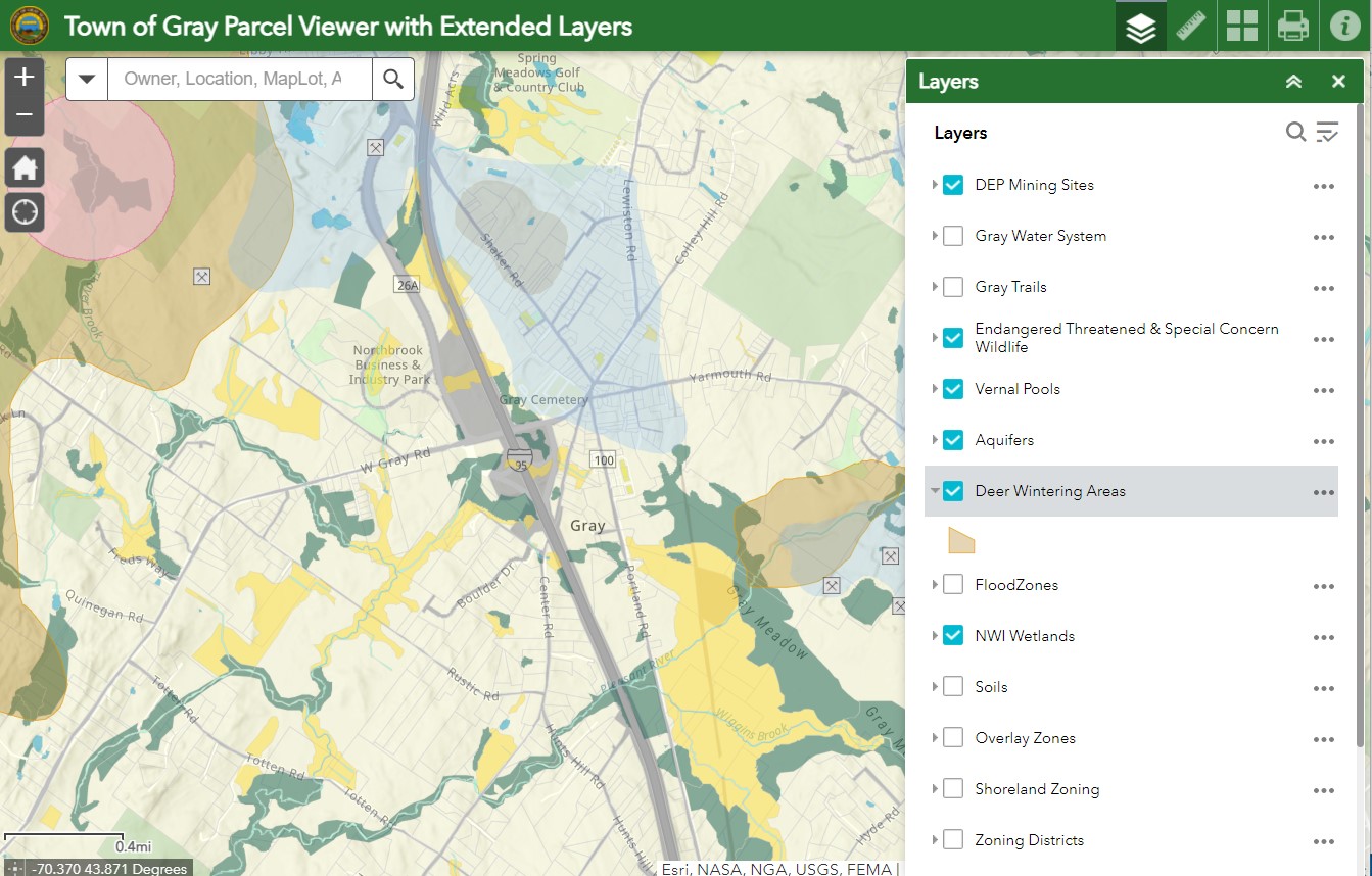
Users can turn layers on and off, measure features, and print maps from the viewer. Click below to open the Town of Gray Parcel Viewer.