We have assisted many communities in converting their paper tax maps into a composite GIS data layer. Once this task has been completed we create tax maps from the new composite data, converting the text, ROWs, streams, and other features found on the paper tax maps into digital data.
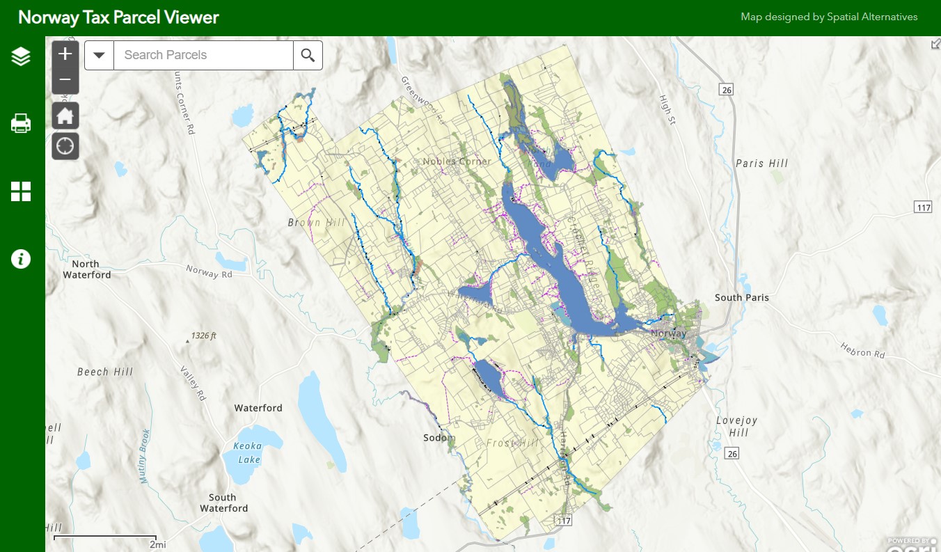
By developing that digital parcel data, the town is able to add a variety of other data sets to their parcels to better understand the community. See Norway Parcel Viewer project for more information about online mapping and other data layers.

User Functions
We have developed an online viewer for the town’s tax parcels and other data layers. Data can be seen by clicking on an individual feature. Users can also measure distances, change basemaps, and print paper copies of the maps. Click below to view the Town of Norway Tax Parcel Viewer and Tax Maps.